The Project was acquired through staking and option in 2021, and a LIDAR survey was flown by Kenorland to support surficial geological interpretation and planning for systematic geochemical surveys. Barrick Gold Corporation optioned the Project in 2021, and completed a property-wide glacial till geochemical survey including the collection of 1902 till samples. In 2022, detailed follow-up exploration included a drill-for-till program which resulted in the collection of 459 overburden samples and 56 top of bedrock samples. Detailed mapping and the collection 1069 rock samples was conducted over multiple target areas. Barrick’s exploration confirmed that in addition to the gold prospectivity, the Project also hosted a large, coherent, and highly anomalous area of coincident nickel and copper in glacial overburden, with nickel values returning up to 674 ppm and copper up to 306 ppm in till, potentially indicating a bedrock source of mineralisation below cover. Multiple lithium-cesium anomalies were also identified, suggesting potential lithium-cesium-tantalum pegmatite systems along the geological sub-province boundary, near the McCombe lithium deposit.
In 2023, additional staking was completed and a LIDAR survey extended DEM coverage over newly acquired areas. Regional data was digitized and infill till sampling and prospecting over multiple targets. In February 2024, Kenorland announced results from the Paponga target area after completing a large-scale geochemical sampling survey including 2,788 fine fraction till samples, 697 heavy mineral concentrate (HMC) till samples, and 482 rock samples. The survey focused on a number of different mineral system targets (Au, Ni-Cu, Li) across the 85,196-hectare property. The survey revealed a coherent gold-in-till anomaly with a strong multi-element signature (Au-Ag-Te-W±As-Sb) over a 5km by 8km area. There has been very limited historical exploration, and no historical drilling has occurred within the geochemical source target area.
In September 2024, Kenorland completed further exploration at the Papaonga target area, collecting 148 infill HMC till samples. Gold grain analysis completed by Overburden Drilling Management Limited (ODM) confirmed high gold grain counts in multiple discrete dispersal plumes, with a peak value of 951 total gold grains (normalized to 10kg table feed) containing 91% pristine grains sourcing from within the diorite pluton. Additional results near Papaonga Lake included 107 gold grains (38% pristine) and 129 gold grains (33% pristine) sourcing from clastic sedimentary and mafic volcanic rocks respectively. The 40 km², Papaonga target area presents a large, coherent gold-in-till and HMC gold grain anomaly, with gold mineralisation associated with northeast-trending shear zones. The gold is associated with various rock types, including intrusive, sedimentary, and volcanic formations, and exhibits a strong multi-element signature (Au-Ag-Te-W±As-Sb-Mo) indicating a significant previously unrecognized gold system. Kenorland completed its 2025 Winter drill program at the South Uchi Project, with 27 holes totaling 14,363 metres testing the Papaonga target.
In 2025, the maiden Winter drill program at the South Uchi Project confirmed a new gold system with widespread mineralisation across a five-kilometre structural corridor. Of the 27 holes drilled (14,365m total), 93% intersected gold, including 56% with intervals over 1.00 g/t Au and 22% over 5.00 g/t Au, with a highlight intercept of 14.60 g/t Au over 1.00m. The mineralized corridor remains open in all directions and a follow-up drill program is planned for late summer 2025.
On January 28, 2026, Kenorland reported complete assay results from the 2025 fall Phase 2 diamond drill program at the South Uchi Project, comprising 13 drill holes totalling 7,075 metres. The program successfully expanded the Papaonga gold target to the north and east and identified a new, previously untested gold-bearing structural corridor concealed beneath glacial cover. Broad zones of gold anomalism were intersected, supporting the district-scale potential of the Project, with the best intercept returning 5.42 g/t Au over 1.80 metres, including 12.70 g/t Au over 0.40 metres.
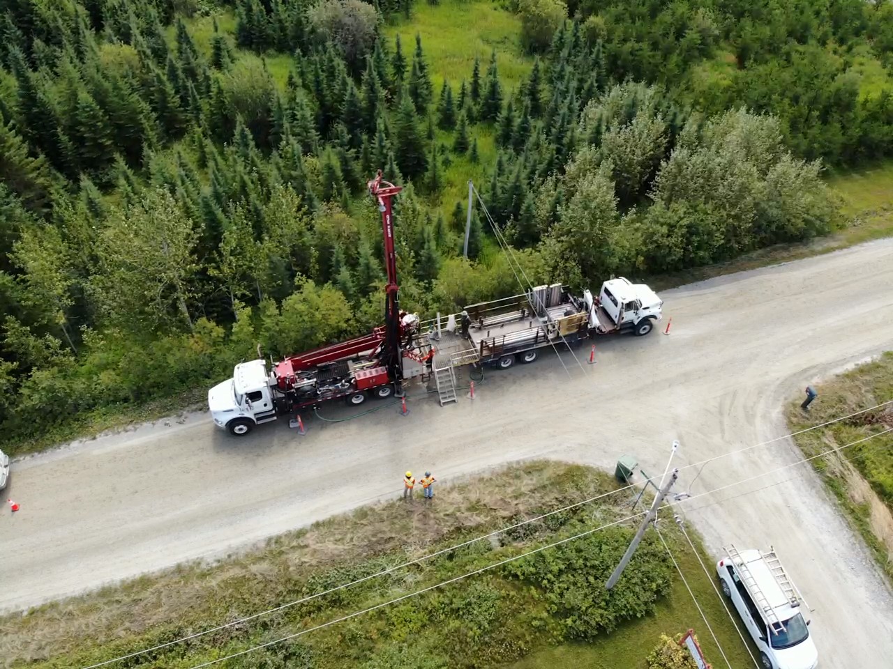
On April 28, 2026, Kenorland announced the completion of a Phase 3 drill program at the South Uchi Project. The Phase 3 program comprised six diamond drill holes totaling 3,187 metres, following the successful identification of a new gold-bearing structural corridor, discovered during the Phase 2 fall 2025 drill program (see press release dated January 28, 2026). The drill holes were designed as large step-outs towards the west and east at roughly 500 metre spacing, testing strike extensions of the mineralisation concealed beneath deep glacial till and glaciolacustrine cover. Assay results are expected in Q2 2026.